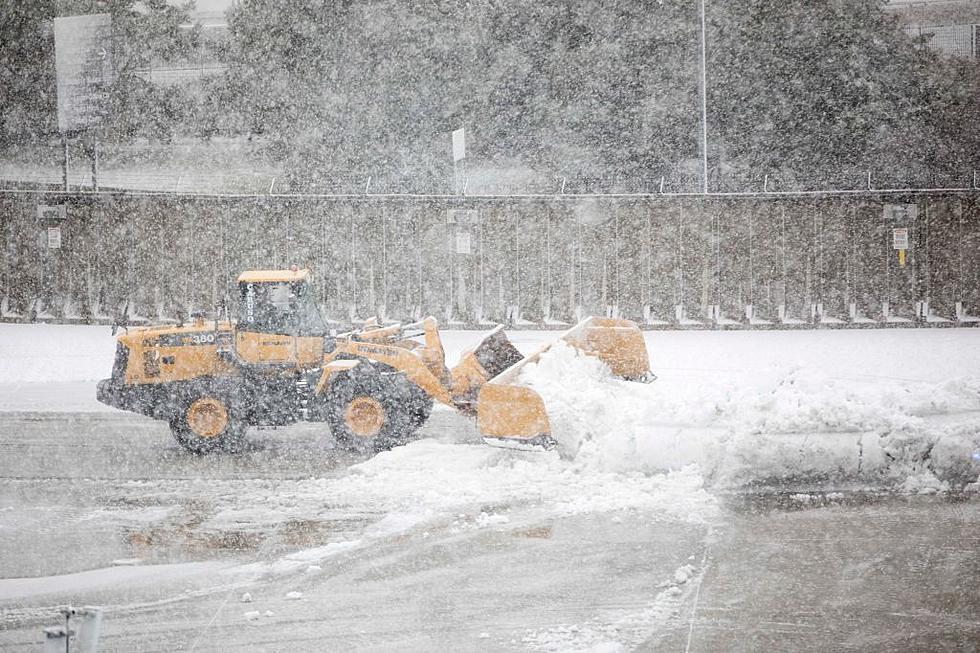
Blizzard Warning Issued for Southern Minnesota Tonight
The National Weather Service has issued a Blizzard Warning for most of southern Minnesota in effect from 11 pm tonight evening through 7 am Saturday morning.
The Blizzard Warning includes Dakota, Goodhue, Le Sueur, Rice, Scott, Steele, and Waseca Counties (+more) -- and includes the entire Twin Cities metro area.
Rain and thunderstorms today will eventually change over to heavy snow tonight. In addition to the snow late tonight, strong northwest wind gusts of 40 to near 50 mph are expected to develop, which will lead to blowing and drifting.
5 to 10 inches of new snow is expected across our area by morning, but locally higher amounts are possible if snowfall rates exceed 2 inches per hour.

Extreme southern Minnesota, near I-90, could have severe weather in the late afternoon and evening. Chances are better further south and east, but wind, hail, and even a few tornadoes are possible.
Travel should be restricted to emergencies only. If you must travel, have a winter survival kit with you. If you get stranded, stay with your vehicle. Gusty winds could bring down tree branches.
You can get the latest road conditions by calling 511, or online at 511mn.org.
Another storm system is in the forecast for early next week, but its too soon to have a good idea as to whether or not is will be a mainly rain or snow event.
KEEP READING: Get answers to 51 of the most frequently asked weather questions...
More From KRFO-FM