Blizzard Warning Through Noon Thursday
The National Weather Service has issued a Blizzard Warning for a large portion of southern Minnesota in effect through noon Thursday.
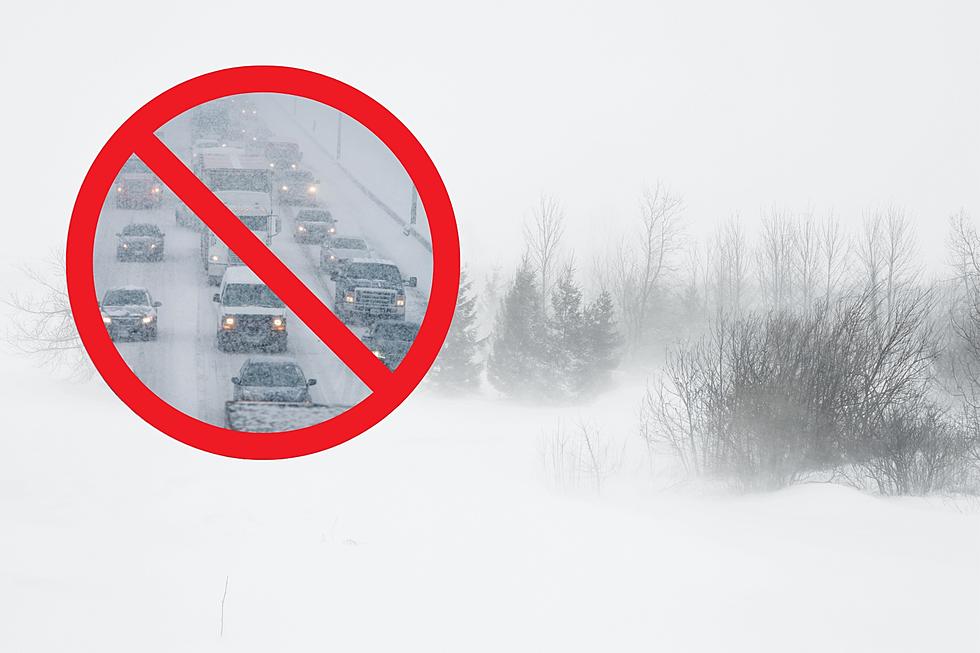
This historic winter storm will likely lead to impossible travel by Wednesday night and Thursday morning.
The Blizzard Warning includes Freeborn, Le Sueur, Rice, Steel, and Waseca Counties +more). Counties outside the Blizzard Warning are under a Winter Storm Warning.

An additional 9 to 14 inches of snowfall is expected, with most areas ending with total storm accumulations of between 14 and 21 inches.
The worst conditions will be from Wednesday afternoon through Thursday morning, when wind gusts of 35 to 45 mph will lead to significant blowing and drifting snow with whiteout conditions in open areas. Some drifts may be several feet deep, making travel nearly impossible.

Travel should be restricted to emergencies only. If you must travel, have a winter survival kit with you. If you get stranded, stay with your vehicle.
Stay tuned for forecast updates and winter weather related announcements. You can also find weather forecasts, closings, and road conditions on our app.

You can also get the latest road conditions in Minnesota by calling 511, or by visiting 511mn.org.
11 of the Most Devastating Weather Disasters in Minnesota Throughout The Years
Gallery Credit: Jessica Williams
Minnesota's 25 Smallest Towns According to the 2020 Census
Gallery Credit: Carly Ross
More From KRFO-FM
