Floodwaters Now Receding in Rochester Area
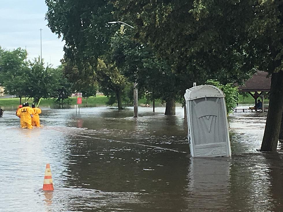
Pine Island, MN (KROC-AM News) - Water levels in areas of Olmsted and Dodge Counties began dropping Friday afternoon after an overnight deluge resulted in widespread flash flooding followed by flooding along the South Branch of the Zumbro River.
As of late this afternoon, the flooding Zumbro River still covered a portion of Highway 52 just south of Pine Island. The highway was closed between Oronoco and Pine Island, where the National Weather Service indicated the Zumbro River crested at about 21.6 feet in the early afternoon. That is about 4-1/2 feet over flood stage and is the 2nd highest crest on record in Pine Island, where the record was set in September 2010 at about 23-1/2 feet. It was high enough earlier today, the Pine Island Fire Department was encouraging people living in a neighborhood, at the south end of the city next to the river to evacuate their homes.
The National Weather Service says the storm system that arrived overnight delivered 4 to 7 inches of rain to parts of Dodge, Olmsted and Fillmore Counties. The unofficial total at the Rochester Airport was just under 5 inches, which set a new record for the highest one-day rainfall in the month of June. It was also the 6th highest single day rainfall overall in Rochester. Byron saw almost 6 1/2 inches of rain and there were reports of even higher amounts in Dodge County.
The resulting flash flooding in the morning shut down Highway 63 between the Rochester Airport and the 40th Street interchange. Many areas along Highway 14 between Dodge Center and Byron were also closed or nearly impassable from the high water. At last report, dozens of smaller roads in both Dodge and Olmsted Counties were still either barricaded or considered impassable.
In Rochester, much of the city's extensive trail system is closed because of the high water levels. Some sections of the trails are underwater along the rivers and creeks that run through the city, and under road and railroad corridors.
News update: High Waters Sweep Cows Away at Oxbow (Video)
More From KRFO-FM


