Strong Storms Possible in Minnesota on Wednesday
UNDATED (WJON News) -- Scattered supercells could develop by early Wednesday evening from western to central Minnesota.
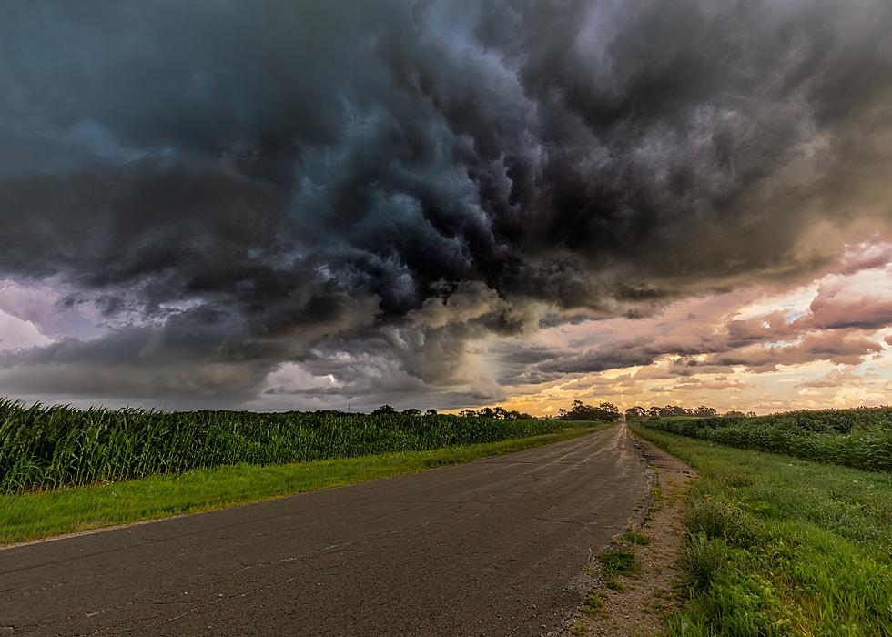
National Weather Service
These storms would then move east-southeast growing upscale into small clusters. Very large hail, damaging winds, tornadoes, and heavy rain would all be possible with the supercells.
Once the storms form into small clusters, damaging winds would become the main threat while hail, tornadoes, and heavy rain will still be possible.

Get our free mobile app
Thursday and Friday will be a bit cooler with drier weather.
So far in June St. Cloud has had 2.76 inches of rain, which is 1.54 inches above normal.
READ RELATED ARTICLES
- Cha Cha for Charity: Jim Maurice Dancing for Quiet Oaks
- World's Largest Rubber Duck Swiming Into Princeton
- Marcus Theatres Announces Everyday Matinee for Kids, Seniors
- SCSU Offering Summer Cannabis Classes
- Salem Lutheran Moves Forward With COP House Negotiations
- Registration Open for Tour of Saints Bike Ride
Best scenic drives in Minnesota
It's time to hit the road—Stacker compiled a list of the best scenic drives in Minnesota using data from Tripadvisor as of March 2024.
Gallery Credit: Stacker