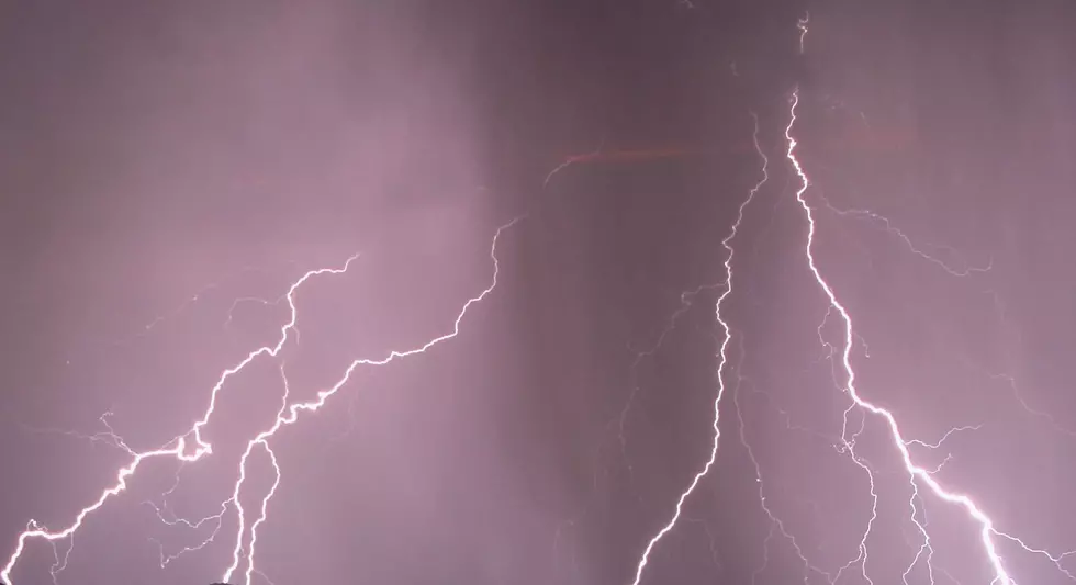
Severe Thunderstorm Watch for Southern Minnesota
The National Weather Service has issued a Severe Thunderstorm Watch for a large portion of southern Minnesota in effect until 11 pm tonight.
This Severe Thunderstorm Watch includes Dakota, Dodge, Freeborn, Goodhue, Le Sueur, Mower, Rice, Scott, Steele, and Waseca Counties (+more) -- in addition to the entire Twin Cities metro area.
The main threats will be for large hail, damaging winds, and a couple of tornadoes.
A Severe Thunderstorm Watch means that the development of severe thunderstorms is possible in and near the watch area.

Stay weather aware and have multiple ways to receive warnings, especially if you have outdoor plans.
What's the Difference Between Watches & Warnings?
Watches are issued when conditions are favorable for tornadoes, severe thunderstorms or flash floods. If you are in a watch area, continue with normal activities but also make plans to seek shelter if necessary.
Warnings are issued when severe weather has been reported or is imminent. Seek shelter immediately if you are in or near the path of the storm. Warnings are issued by county and city names. Make sure you know the name of the county in which you live and the cities that surround you.
If a watch is issued: Local weather offices are staffed with extra personnel. State officials are notified and they pass the information to the county and local level. Counties and cities activate their spotter groups as the threat increases. TV and radio stations pass the word to the public.
If a warning is issued: Warnings are disseminated swiftly in a multitude of ways, including TV, radio, and over the internet. Advances in technology have allowed people to receive warnings via cell phone, pager, and numerous other methods. Spotters provide important reports on the storm, and emergency officials carry out the plans that the emergency managers have developed. Updates are issued frequently until the immediate threat has ended.
TIPS: Here's how you can prepare for power outages
