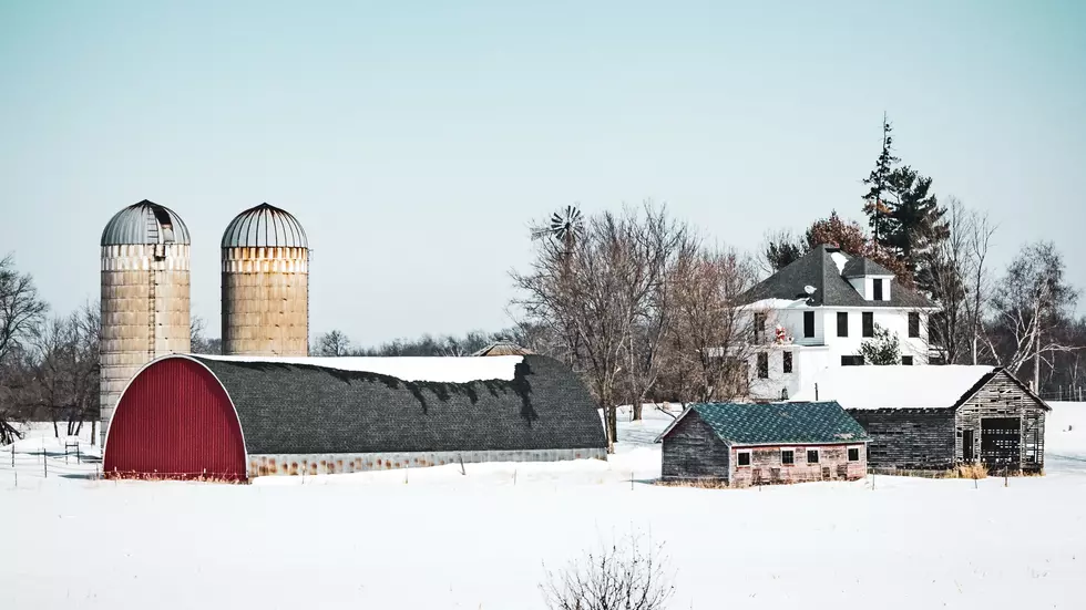
Snowflakes Are in the Southern Minnesota Forecast
It was only matter of time, but snowflakes are in the southern Minnesota forecast for the first time this fall.
No, you won't have to dig out your car, or even shovel, but the National Weather Service is calling for a slight chance of rain mixing with snow tomorrow during the day, with a high of 44.
It doesn't look like we have a warmup in sight anytime soon either, with high temperatures staying in the 40s through at least next Tuesday.

The Weather Channel's Winter Temperature Outlook
The Weather Channel has released it's winter weather outlook, saying that we can generally expect a colder than normal winter across the northern states, with December having the best chance of being a bit warmer -- sliding to a greater chance of colder then normal temps as we mover through January and into February.
Winter temperatures are once again expected to be split between a warmer than average South and colder than average North, with colder risks in parts of the East.
Owatonna and Faribault average 45 inches of snow a year, with the first measurable snowfall coming in November.
The Farmer's Almanac, Old Farmer's Almanac, NOAA's three month outlook, and the Accuweather winter outlook all seem to agree with The Weather Channel; leaning toward a slightly colder than normal winter, and slightly snowier than normal winter here in Minnesota.
Just north and east of the Twin Cities, areas are expected to see anywhere from a trace to a couple of inches of snow through this Sunday.
Winter is coming! 🌨️❄️☃️
GALLERY: Remembering Past Minnesota Winters
More From KRFO-FM
![Carrie Underwood Spoofs ‘Full House’ Intro for Meet the Band Video [Watch]](http://townsquare.media/site/204/files/2022/10/attachment-underwood-full-house-intro.jpg?w=980&q=75)


