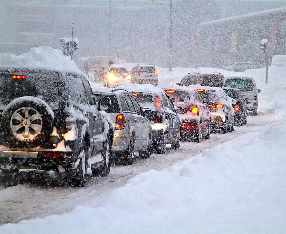
Winter Storm Watch Issued For SE Minnesota

Rochester, MN (KROC-AM News) - The Rochester area is now included in a winter storm watch that will be in effect from noon on Thursday until 6 AM Friday.
The winter storm watch issued by the National Weather Service now covers most of the southern half of Minnesota, along with northern Iowa and southwestern Wisconsin. It's due to a developing storm system that has the potential for bringing another round of heavy snow to the region. Anyone with travel plans for Thursday or Friday is urged to keep track of weather forecasts and consider altering those plans if warranted.
As of today, forecasting models indicate Rochester and much of the region face an 80% chance of 6 inches or more of snow accumulation between Thursday afternoon and early Friday morning. There is a medium risk of accumulations in excess of 8 inches throughout southeastern Minnesota, but there are areas between Rochester and the Iowa border that are currently rated as having a high risk of the heavier snow amounts.
The current National Weather Service forecast for Rochester indicates there is a possibility of 2-4 inches of snow Thursday afternoon and the potential for another 4-8 inches of accumulation Thursday night and into early Friday.
KEEP READING: Get answers to 51 of the most frequently asked weather questions...
More From KRFO-FM