Winter Storm Watch Issued for Southern Minnesota
The National Weather Service has issued a Winter Storm Watch for all of southern and central Minnesota, in effect from 12:00 pm this Wednesday through 6:00 am Saturday morning.
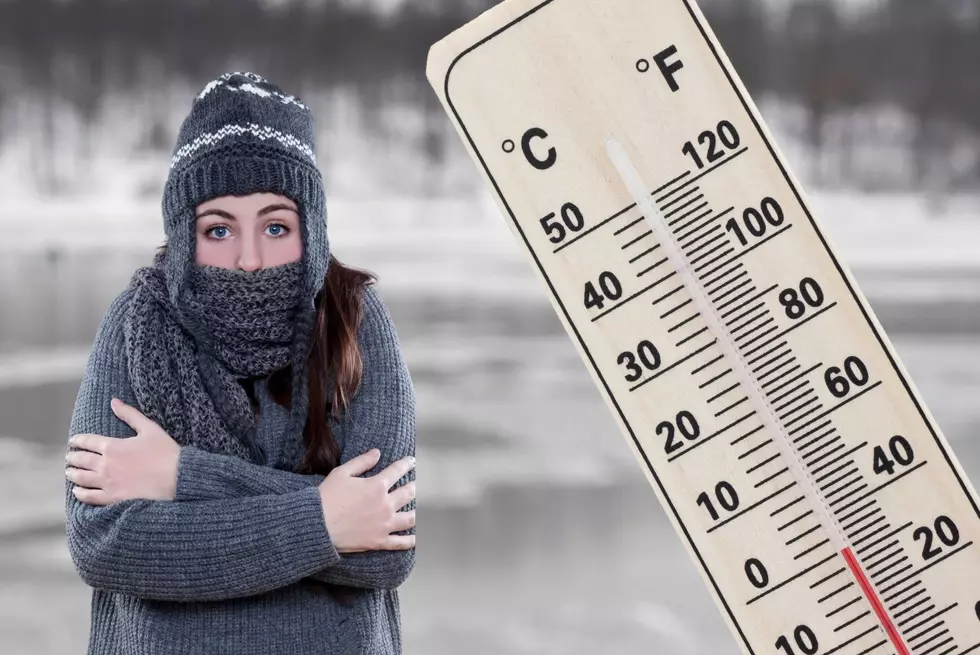
Total snow accumulation of 6 to 10 inches of snow is possible, along with strong winds, dangerously cold wind chills, and the blizzard conditions. Winds could gust as high 55 mph. Wind chills as low as -40 should be expected. Travel could be very difficult or impossible.

From the National Weather Service...
Blizzard conditions and dangerously cold air are likely later this week. Travel Thursday through Friday night could be impossible and life threatening. Consider adjusting any travel plans now.


A Wind Chill Watch has also been issued, in effect from 6:00 pm Thursday night through 6:00 am Saturday morning for dangerously cold wind chills as low as -40. The dangerously cold wind chills could cause frostbite on exposed skin in as little as ten minutes.
Prepare for possible blizzard conditions. Continue to monitor the latest forecasts for updates on this situation. Monitor the latest forecasts for updates on this situation.
LOOK: The most extreme temperatures in the history of every state
Gallery Credit: Anuradha Varanasi
More From KRFO-FM