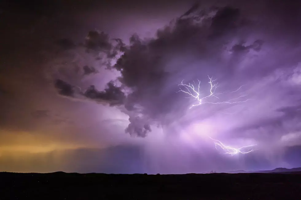
Severe Storms Possible this Afternoon & Evening in Southern Minnesota
The National Weather Service says there will be a risk of severe weather across the area this afternoon and evening.
While showers are in the forecast off and on through the weekend, it's now this afternoon and evening that forecasters are watching closely for the possible development of severe thunderstorms.
Storms are expected to develop this afternoon, with some possibly becoming severe -- with large hail and damaging wind being the primary threats.

Any storms that develop will gradually weaken as they move east into Wisconsin by midnight.
Severe Weather Refresher: Watches vs. Warnings
WATCHES are issued when conditions are favorable for tornadoes, severe thunderstorms or flash floods. If you are in a watch area, continue with normal activities but also make plans to seek shelter if necessary.
WARNINGS are issued when severe weather has been reported or is imminent. Seek shelter immediately if you are in or near the path of the storm. Warnings are issued by county and city names. Make sure you know the name of the county in which you live and the cities that surround you.
If a WATCH is issued local weather offices are staffed with extra personnel. State officials are notified and they pass the information to the county and local level. Counties and cities activate their spotter groups as the threat increases. TV and radio stations pass the word to the public.
If a WARNING is issued, information is sent out swiftly in a multitude of ways, including TV, radio, and over the internet. Advances in technology have allowed people to receive warnings via cell phone, pager, and numerous other methods. Spotters provide important reports on the storm, and emergency officials carry out the plans that the emergency managers have developed. Updates are issued frequently until the immediate threat has ended.


